Ground Penetrating radar (GPR) in Alabama
Serving North Alabama and Surrounding Regions: Mid-South Testing's GPR Coverage Area
Mid-South Testing is pleased to offer exceptional GPR (Ground Penetrating Radar) services to the North Alabama region. Our company is dedicated to assisting businesses, contractors, and individuals in Decatur, Athens, Madison, Huntsville, Cullman, Florence, Gadsden, Arab, Guntersville, Scottsboro, Birmingham, Alabaster, Bessemer, Hoover, Ardmore, Trinity, and all cities and counties within a 2-hour radius of Morgan County, Alabama.
We have deep roots in the community and are committed to providing accurate and timely locating services. Our GPR technology is precise and efficient, allowing us to map underground structures, locate utility lines, and assess the geology of a site. Whether you are working on a construction project, planning a drilling operation, or need to inspect the pavement, pavement joints, or parking lots, Mid-South Testing is your go-to for all your GPR needs.
What is GPR?
Ground Penetrating Radar (GPR) is a non-destructive geophysical method that uses electromagnetic waves to investigate the subsurface. It can be used to detect and locate subsurface features, such as buried objects, archaeological artifacts, pipes, utilities, and geological formations. GPR works by sending a high-frequency signal into the ground, which then reflects back to a receiver. The time taken for the signal to reflect back can be used to determine the depth and location of the object being detected.
How Does GPR Work?
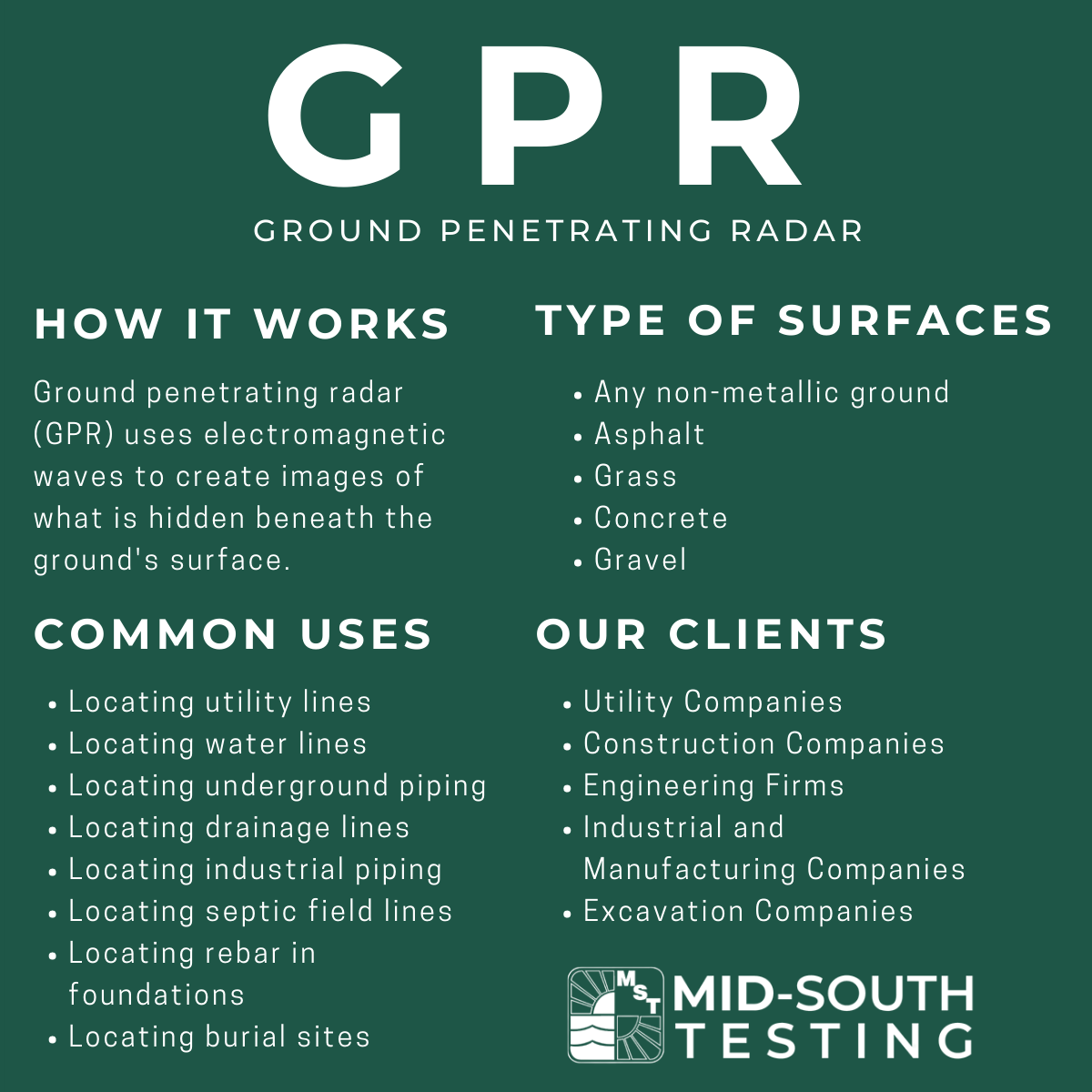
Ground penetrating radar (GPR) uses electromagnetic waves to create images of what is hidden beneath the ground’s surface.
Here’s how it works:
- A transmitter sends radio waves into the ground.
- The radio waves bounce off different layers of soil and objects beneath the surface.
- Some of the radio waves return to the surface and are received by a sensor.
- The time it takes for the radio waves to return is measured and used to create an image of what is beneath the surface.

Why is GPR Used?
Ground penetrating radar is most used for detecting and mapping subsurface features and structures such as pipes, cables, burial sites, geological formations, and archaeological artifacts. It is also used for geological, environmental, and civil engineering applications such as determining soil properties, locating underground water resources, and assessing road and bridge conditions.
Common Uses for Ground Penetrating Radar
- Locating utility lines
- Locating water lines
- Locating underground piping
- Locating drainage lines
- Locating industrial piping
- Locating septic field lines
- Locating rebar in foundations
- Locating burial sites, cemetery, and grave sites
- Locating and detecting sinkholes and underground voids
- Locating and detecting underground storage tanks (UST)
Here’s a few reasons GPR is used:
- Non-destructive testing: GPR allows for the exploration of underground materials, structures, and objects without causing damage to the surface or the subsurface. It is a non-invasive and non-destructive method of exploration and analysis.
- Time-efficient and cost-effective: GPR can cover large survey areas quickly, and it is a cost-effective technique compared to traditional excavation and drilling methods.
- Identifying subsurface anomalies: GPR can locate underground objects such as pipes, electrical cables, and other utility lines, as well as identify subsurface structural anomalies such as voids and anomalies below the ground surface.
- Safety: By identifying any potential dangers such as voids or the subsurface structure of large buildings, GPR can improve safety and prevent accidents.
- Environmental concerns: Using GPR to detect underground contaminants such as buried hazardous waste, petroleum products, or other hazardous materials, can help to mitigate the risk of contamination in the environment.
Get accurate and reliable subsurface intelligence! Schedule your ground penetrating radar service (GPR) with us now!
How are GPR Findings Marked?
When the presence of subsurface features are found the ground is marked with specific paint colors as a way to document the type of underground infrastructure that was found.
- White – used to mark the edges of an area that has been surveyed
- Red – used to mark the location of buried utilities or other important features
- Blue – used to mark the location of proposed excavations or other future work
- Yellow – used to mark the location of caution or warning (e.g., gas lines)
- Orange – used to mark temporary survey markers or other temporary features
Locating Services You Can Trust: Mid-South Testing's GPR Expertise
Mid-South Testing offers the latest technology in ground penetrating radar (GPR) to assist in a wide range of industries. From construction companies to utilities, our GPR equipment can identify and locate subsurface features accurately and quickly. Our team of experienced professionals provides reliable solutions for various applications throughout North Alabama, including locating utilities, environmental site assessments, and geotechnical investigations. With our state-of-the-art equipment and a commitment to quality, we are confident in delivering informative and efficient results to our clients.
Learn More About GPR Services in Alabama
Contact Mid-South Testing, located in Decatur, Alabama, to get the highest-quality ground penetrating radar services. With advanced technology and unbeatable expertise, we provide accurate and reliable solutions for engineering, construction, and utility mapping needs.
